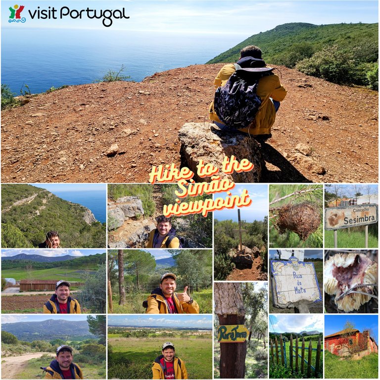
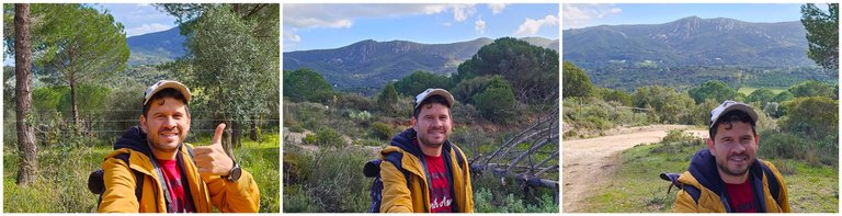
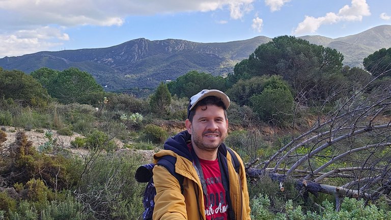
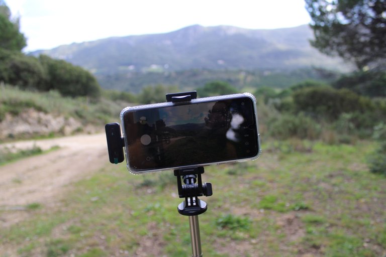
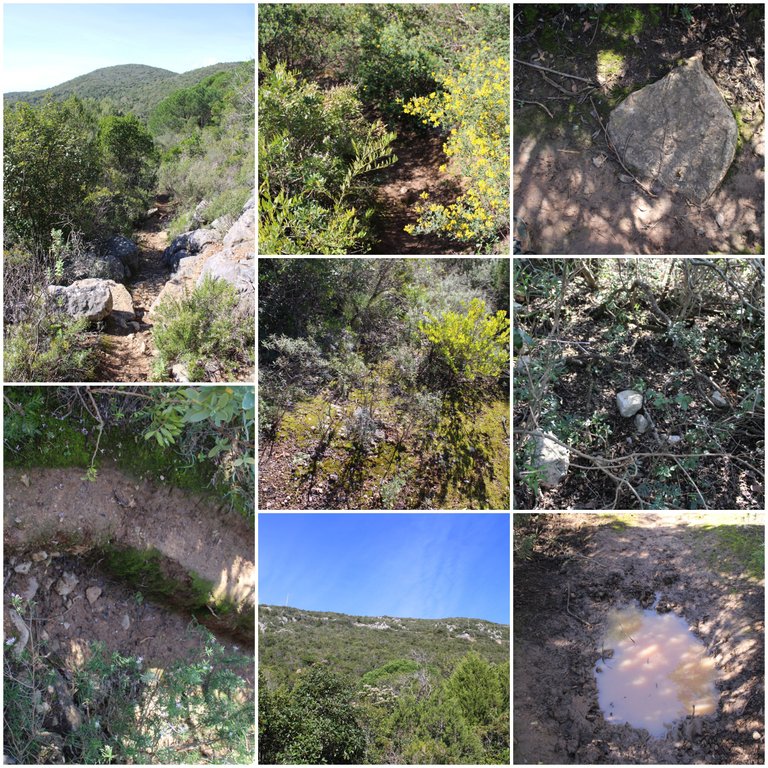
Hello friends who love nature and travel! Today I bring you a very relaxing and beautiful walk in the small mountain range of "Simao" in the heart of the Arrabida forest, an immense place that I am always exploring and discovering new things. This place that I reached, which is a viewpoint, does not appear anywhere, so I named it "Simao" because of the name of the village that is nearby xD, who doesn't dream of naming places hehe! Enjoy the views and the landscape.🧭🌍
hola amigos amantes de la naturaleza y los viajes! hoy les traigo una caminata bastante relajante y hermosa en la pequena sierra de "simao" en pleno centro forestal de la Arrabida un lugar inmenso que siempre estoy explorando y descubriendo cosas nuevas, este lugar al que llegue el cual es un mirador no aparece en ningun lado por tanto lo bautice como "simao" debido al nombre de la aldea que esta cerca xD, quien no suena con bautizar lugares jeje! disfruta de las vistas y el paisaje.⛺🌷
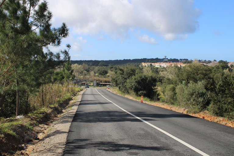
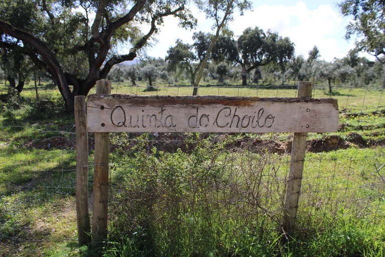
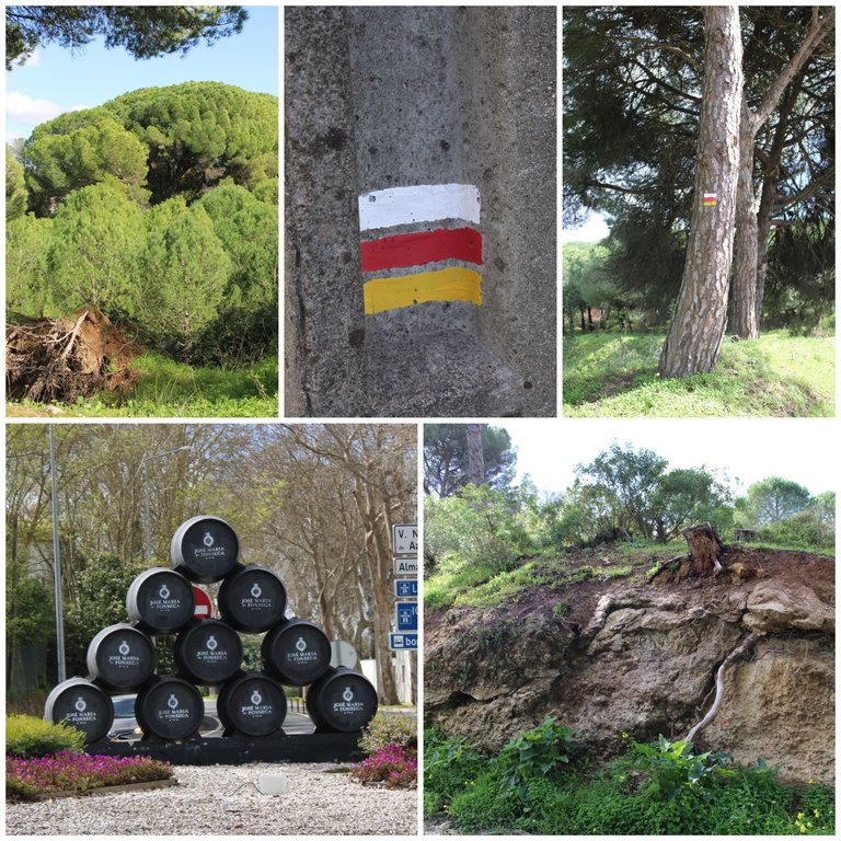
We start from the village of Simoes🌷🧭/Comenzamos por la aldea Simoes🚩🌍

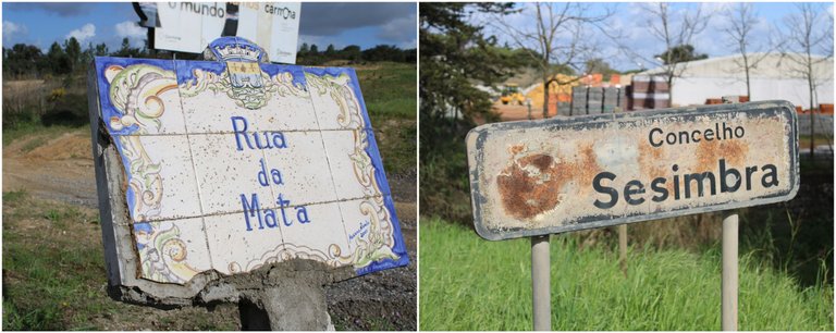
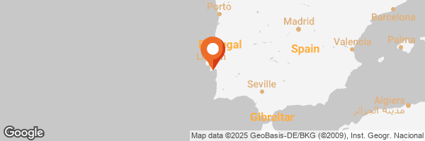
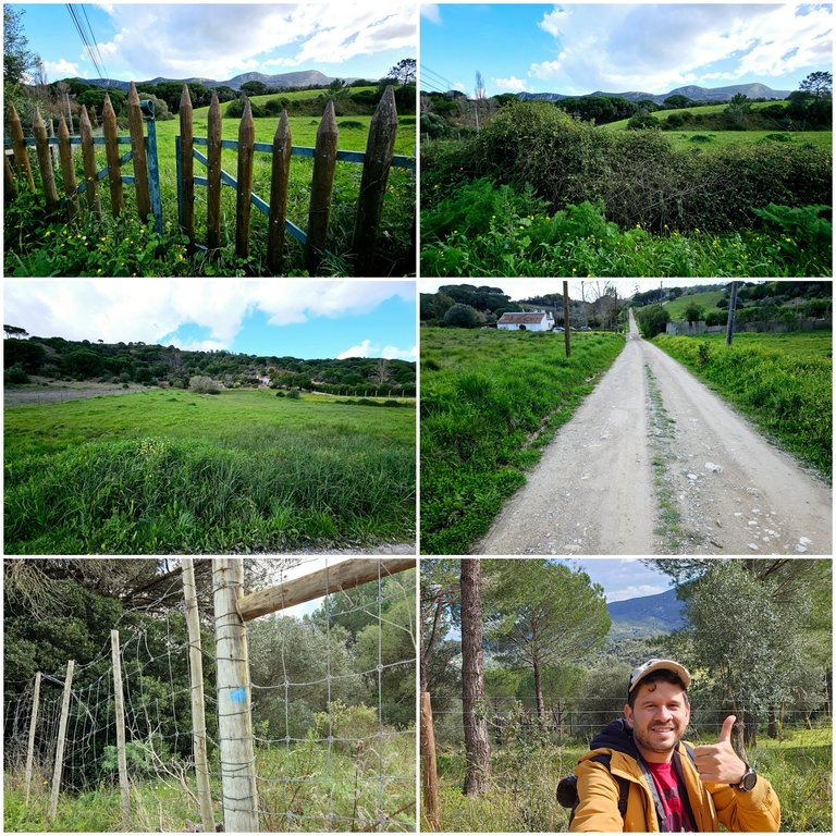
Well our walk begins in the village of "Simoes" a town that is between the borders with "qta do conde and sesimbra" a quiet place with some walks that connect to the mountains, that is, at this moment I am between the border of civilization and the natural mountain range, as a reference point to locate the path to the trail you should place these coordinates in gmaps: "38.458161, -9.011252" this is exactly in the "São Lourenço" mountain range and there I will guide you where to go.🚩🧭
Bueno nuestra caminata comienza en la aldea o villa de "Simoes" una localidad que esta entre fronteras con "qta do conde y sesimbra" un lugar tranquilo con algunas caminatas que se conectan hacia la sierra, osea en este momento estoy entre la frontera de la civilizacion y la sierra natural, como punto de referencia para localizar el camino hacia el sendero deberas colocar esta coordenadas en gmaps: "38.458161, -9.011252" esto esta exactamente en la sierra de "São Lourenço" y alli te ire guiando por donde ir✍🏻🗺️.

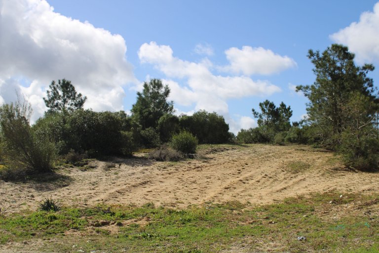
Gmaps sent me on an alternative sand road, because according to them it would be a faster route! And yes, I saved 15 minutes of walking, which was good because it was too sunny. Imagine the weather in Portugal, where in winter it's 22 degrees and with the sun it seems like 30 xD. The landscape is beautiful here, in the distance you can see the mountain where we are going. In total it's more than 10km.👆🏻🚙
Gmaps me envio por un camino de arena alternativo, porque segun seria una ruta mas rapida! y si ahorre 15min de caminata cosa buena porque estaba demasiado sol, imaginense el clima de Portugal que en invierno hay 22 grados y con sol parecen 30 xD, el paisaje es bonito por aqui a lo lejos se ve la montana hacia donde vamos, en total son mas de 10km🚩🧭
"São Lourenço" forest🌷🧭/bosque "São Lourenço"🚩🌍
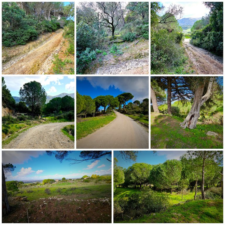
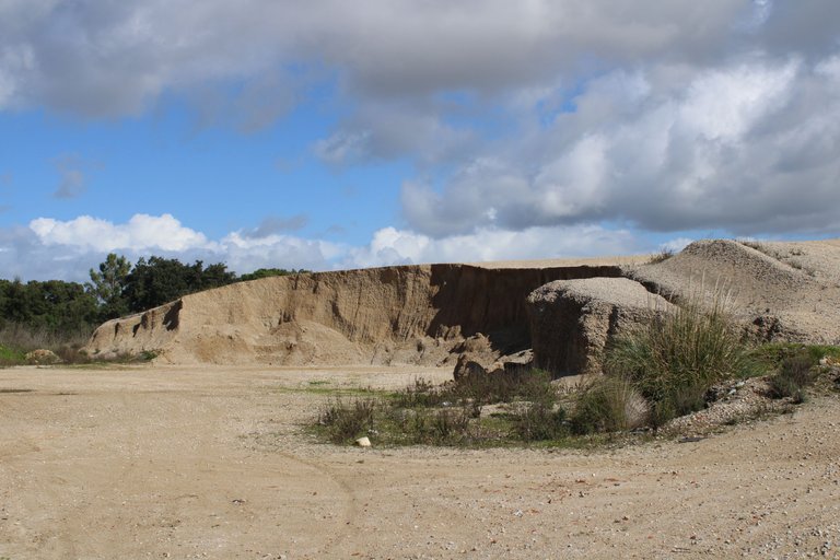
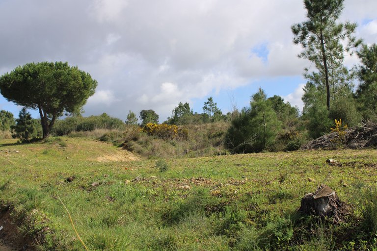
After leaving behind the village of "Simoes" we will pass by another one called: "São Lourenço" this one is closer to the mountain, that is why when we pass by here we enter a forest that is protected, it is normal that we do not see the streets or paved roads and therefore sand, here we are much closer to the mountain to the point of seeing it a few kilometers above the villages there is nothing interesting to highlight.🚙🌍
luego de dejar atras la aldea de "simoes" vamos a pasar por otra llamada: "São Lourenço" esta si esta mas cerca de la sierra, por eso cuando pasamos por aqui entramos en un bosque que esta protegido lo que es normal que no veamos las calles o caminos asfaltados y por ello arena, aqui estamos mucho mas cerca de la montana al punto de verla a pocos kilometros sobre las aldeas no tienen nada interesante para destacar.🗺️🚙
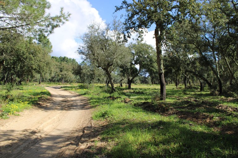
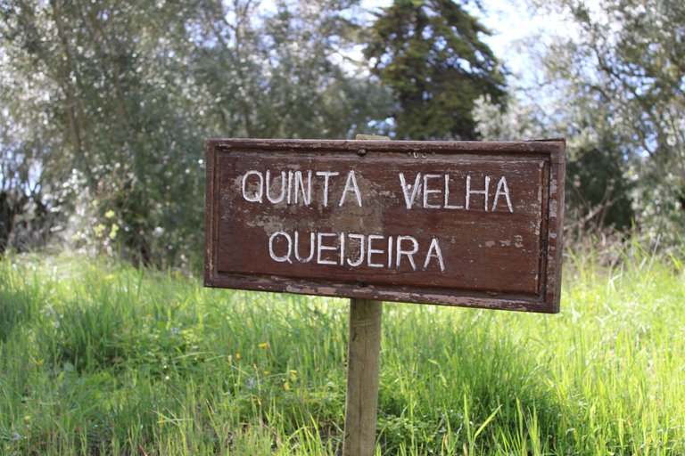
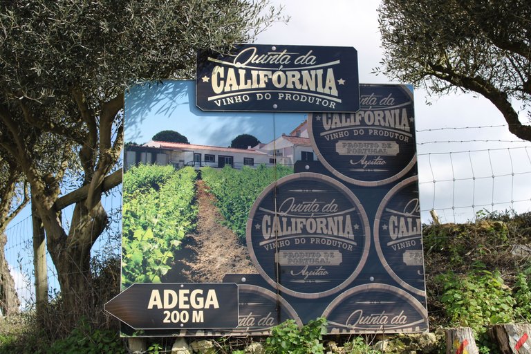
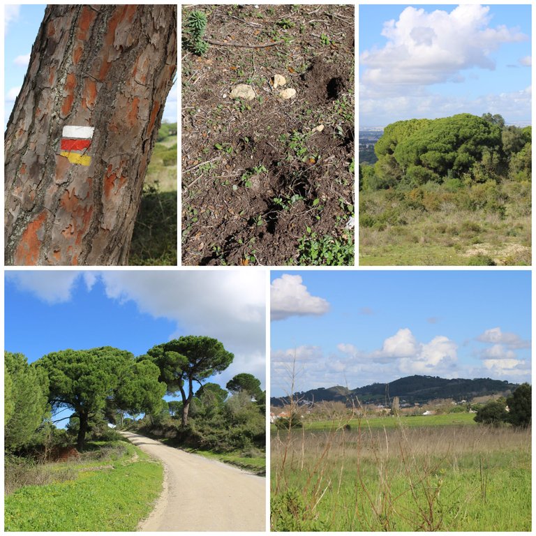
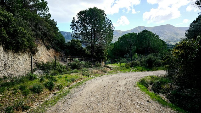
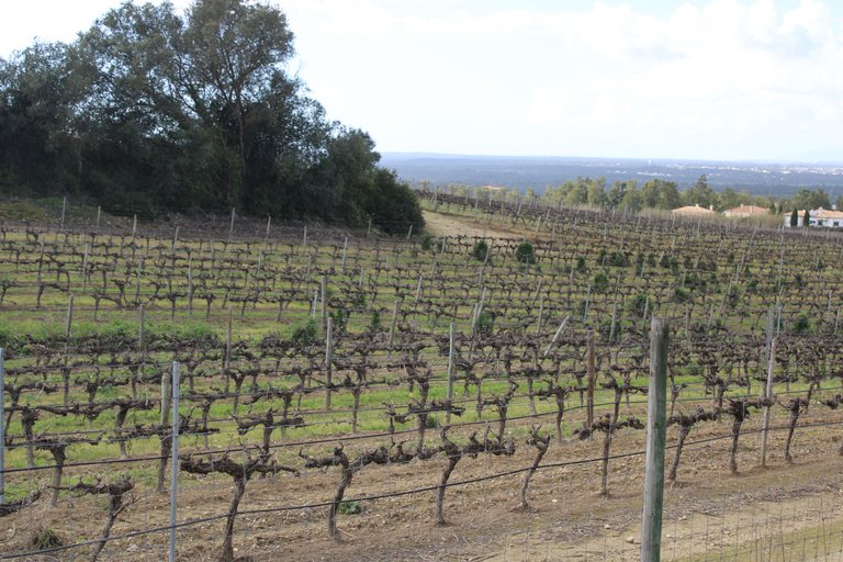
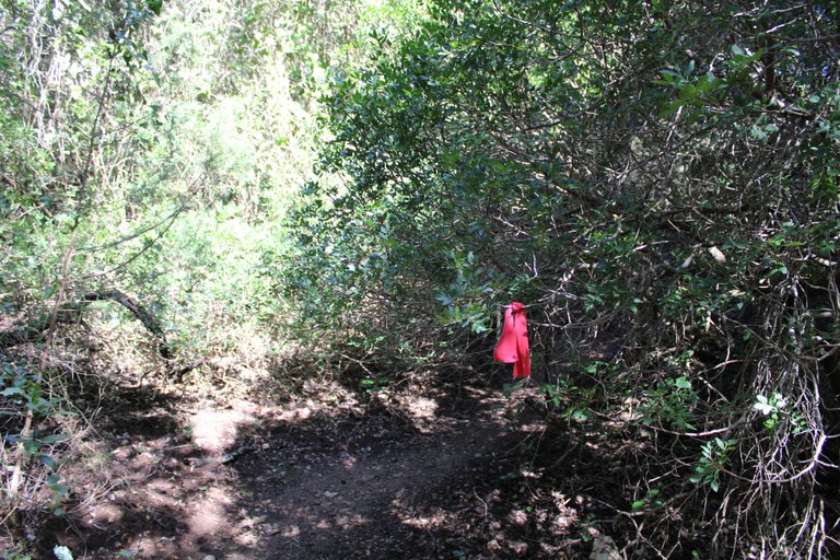
Here, in this part of the trail, we will enter an area with many wine plantations. This is connected to "azeitao" and then we will finally enter the route that will take us to the viewpoint. We will just follow the marked sign. Later, I will tell you where we have to cross the bush, as the entrance is very hidden.
aqui en esta parte del sendero vamos a entrar en una zona de muchas siembras de vinos, esto se comunica con "azeitao" luego entramos definitivamente a la ruta que nos llevara hasta el mirador, solo iremos a seguir la senal marcada, posteriormente les dire donde tenemos que cruzar en el matorral, pues la entrada esta muy escondida.
The Countess's Viewpoint🌷🧭/Mirador la condesa🚩🌍
A mandatory stop when we hike to the "Simão" viewpoint is this place where the trail sends us down the mountain, that is, at this point we are 210 meters high and between two valleys, now we are going to go down and then go up again but in another part of the mountain range, the "Duchess" viewpoint is a place to have a picnic or spend a pleasant moment with beautiful views.🧭
una parada obligatoria cuando hacemos la caminata hacia el mirador "Simão" es este lugar aqui donde el sendero nos envia a bajar de la montana, osea en este punto estamos a 210metros de altura y entre dos valles, ahora vamos a bajar para luego subir nuevamente pero en otro sector de la sierra, el mirador "de la duquesa" es un lugar para hacer un picnic o pasar un momento agradable con hermosas vistas.🚙
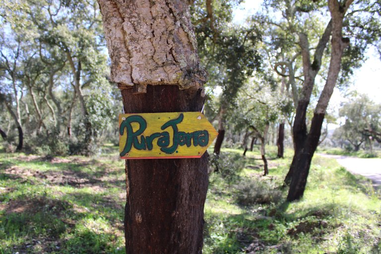
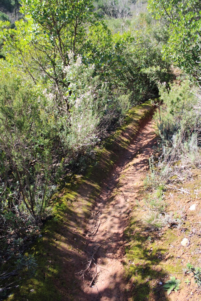
Trail to the viewpoint🌷🧭/Sendero hacia el mirador🚩🌍
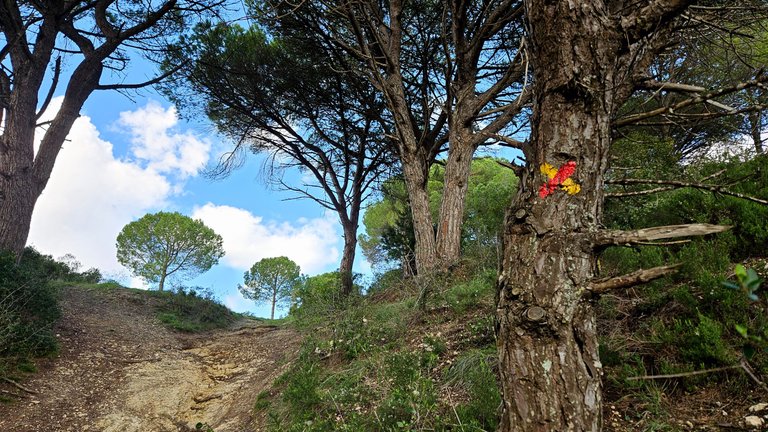
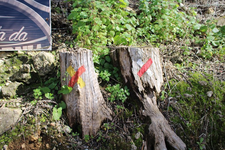
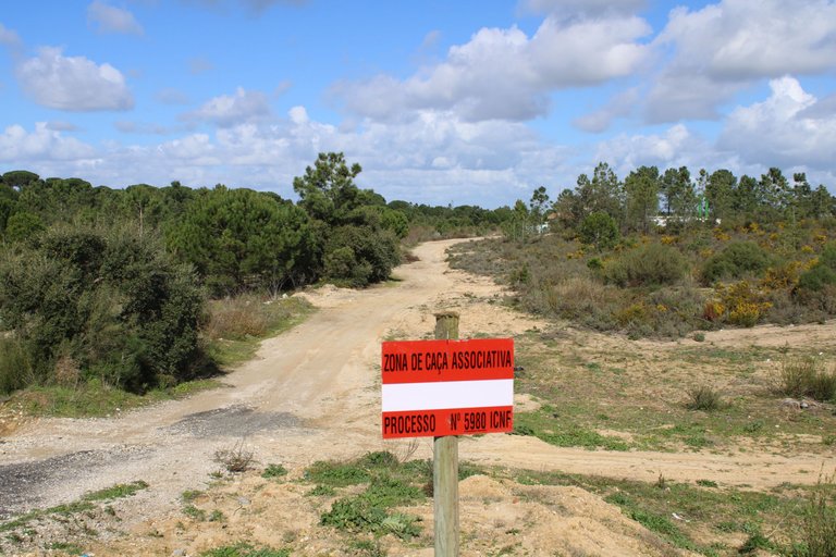
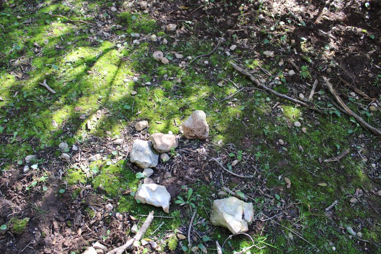
identification reference👨🏻🏫🚩
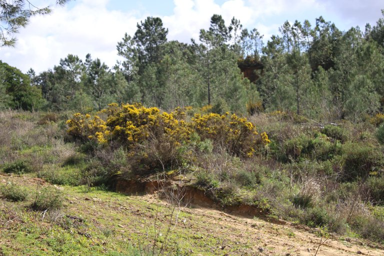
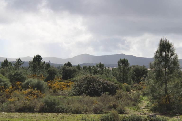
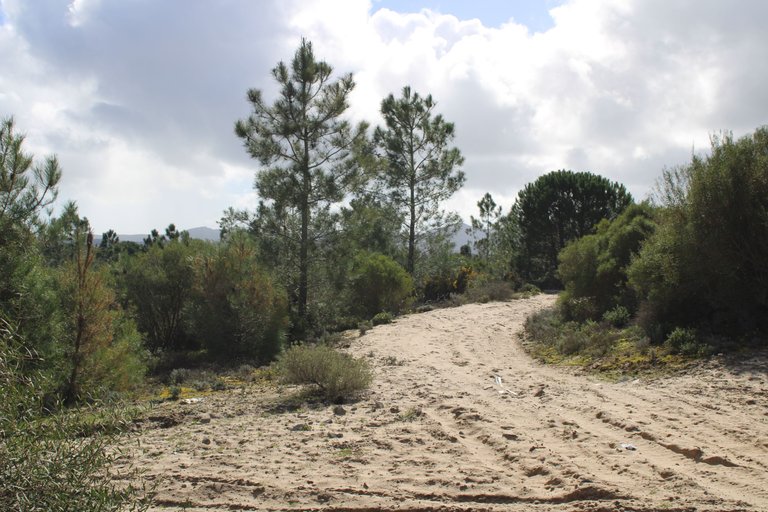
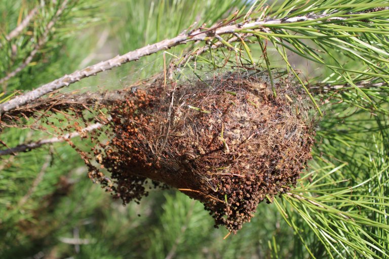
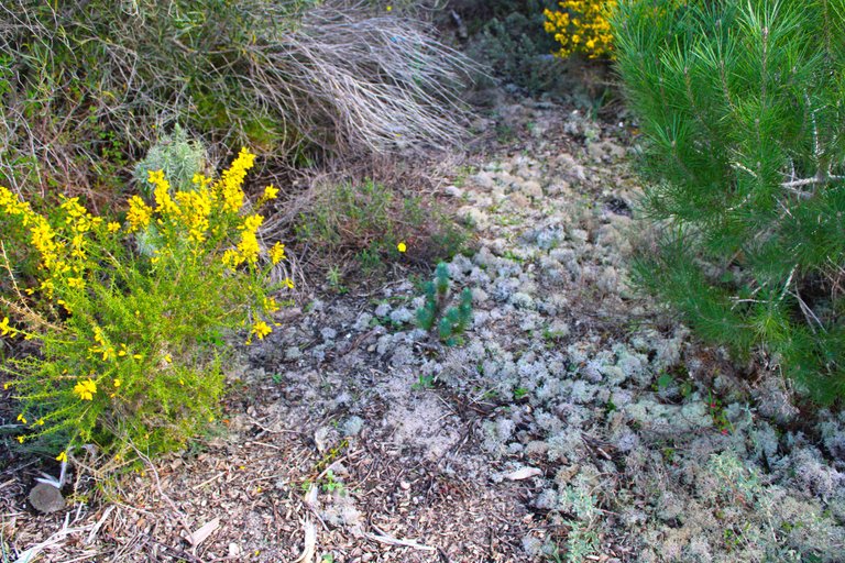
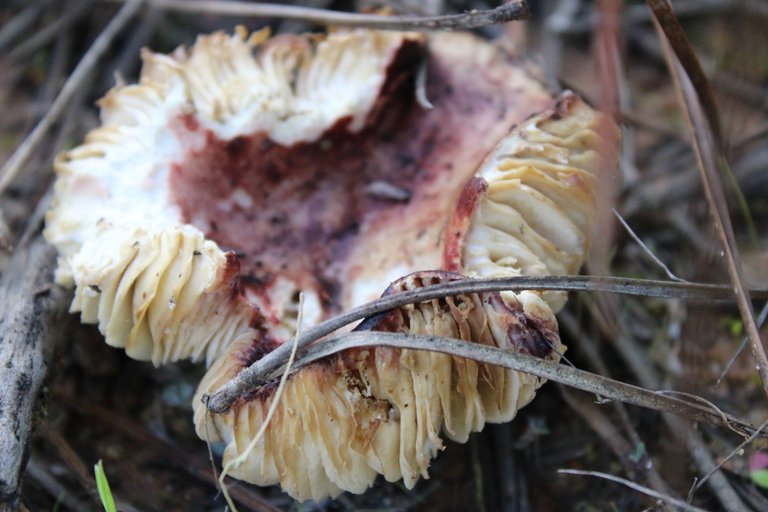
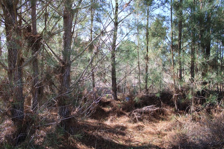
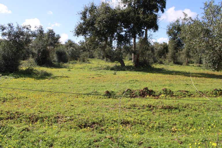
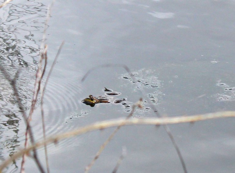
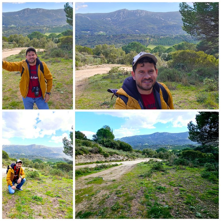
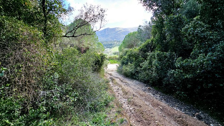
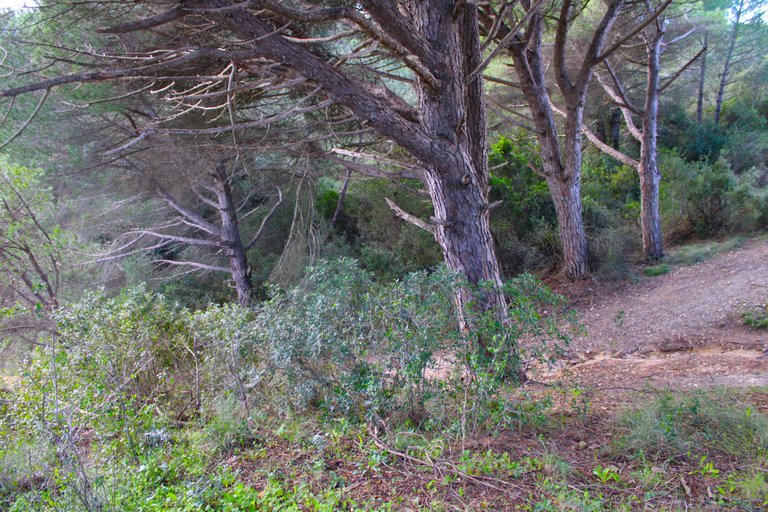
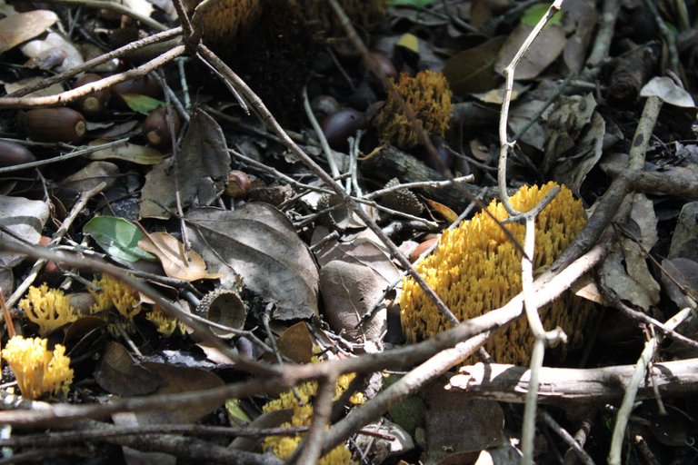
I was favored with the weather, it didn't rain and look how much it rains this month, after leaving the Mirador de la Duquesa and walking 4km we would have about 4km more to go to reach the final destination, so the road will be in the middle of the mountains, here there are no towns because in the natural reserves you can't build, so if you need supplies here you can't buy anything! We are in a fairly isolated area, you may see some wild animals like foxes, wild boars, there are wine plantations, the landscape is quite relaxing.🌍
fui favorecido con el clima no llovio y miren que este mes llueve mucho, luego de dejar el mirador de la duquesa y caminar ya 4km nos restarian unos 4km mas para llegar al destino final, por ello el camino sera en medio de las montanas, aqui no hay pueblos pues en las reservas naturales no se puede construir, por eso si necesitas insumos ya aqui no puedes comprar nada! estamos en una zona bastante aislada, puede que veas algunos animales salvajes como zorros, jabalis, hay siembras de vinos, el paisaje es bastante relajante.🌄
"Simão" viewpoint🌷🧭/Mirador "Simão"🚩🌍
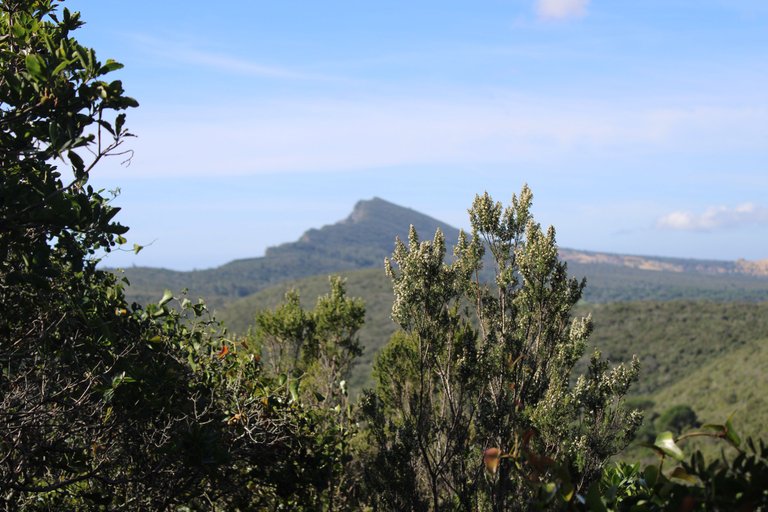
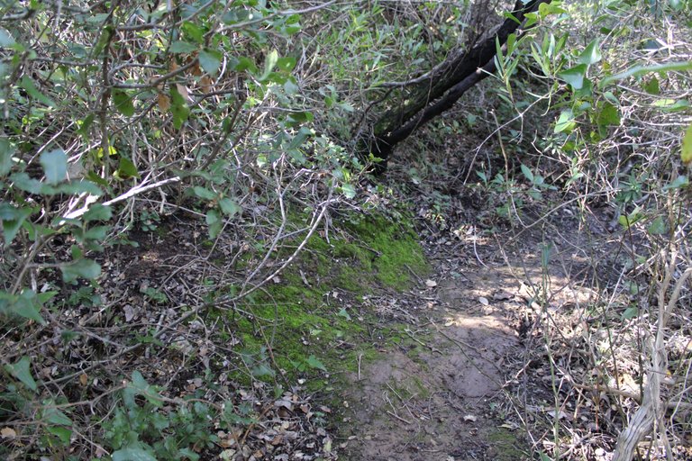
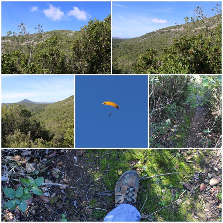
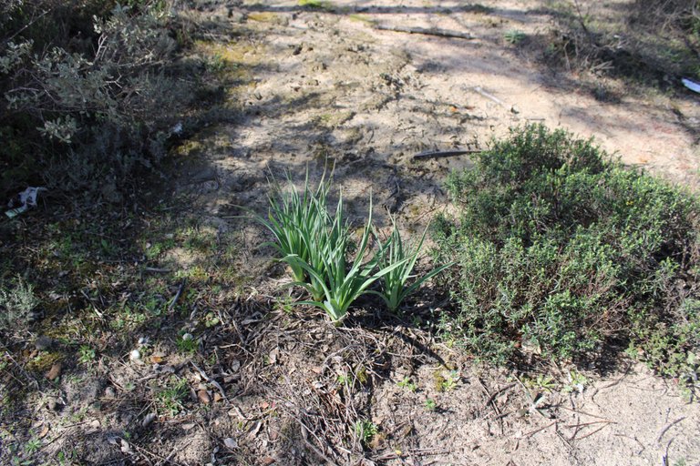
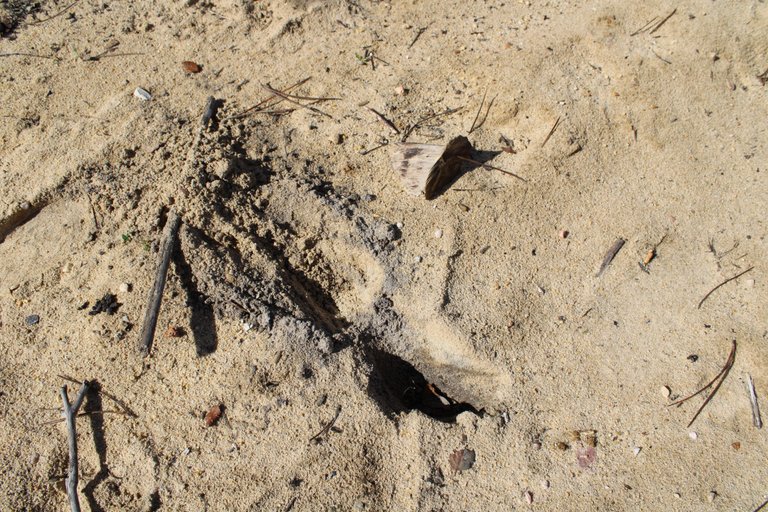
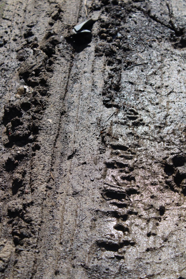
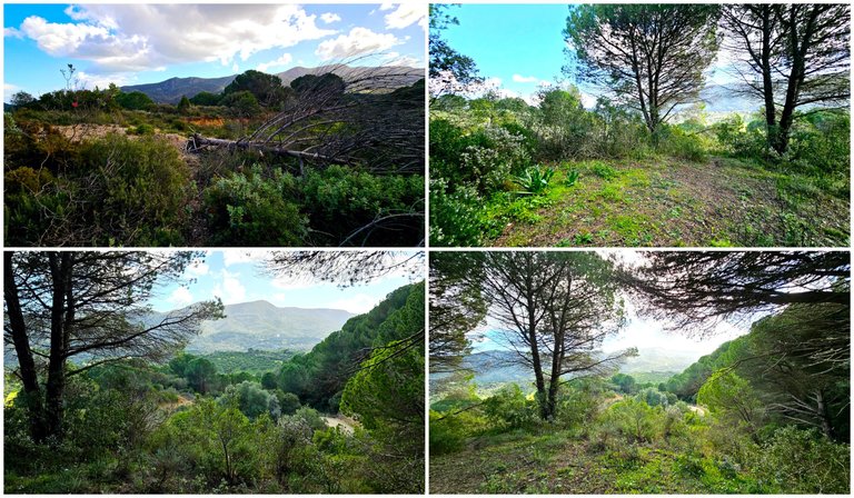
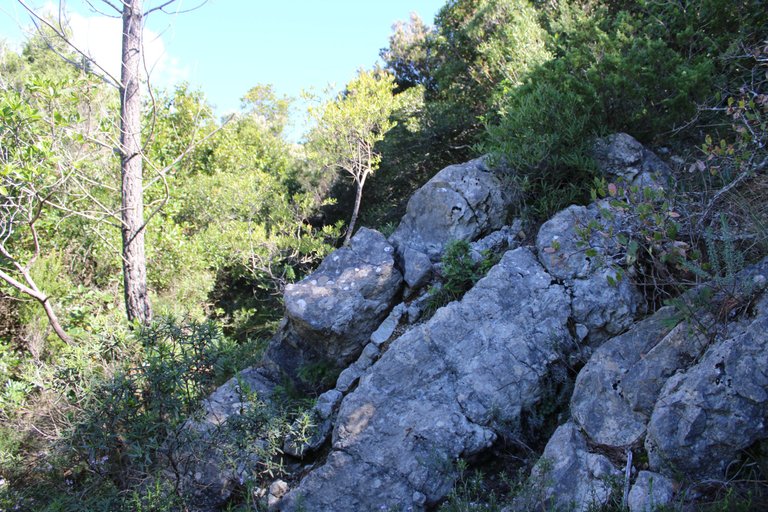
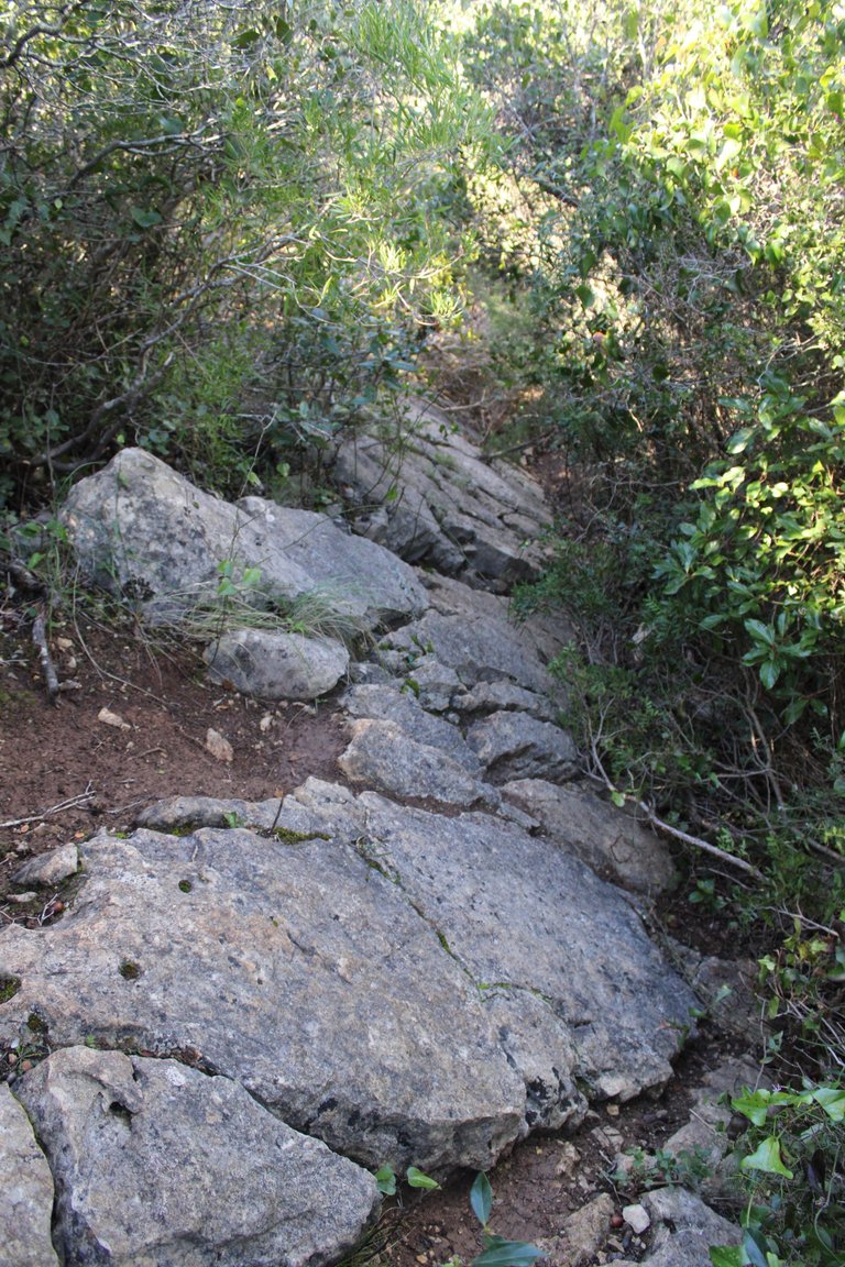
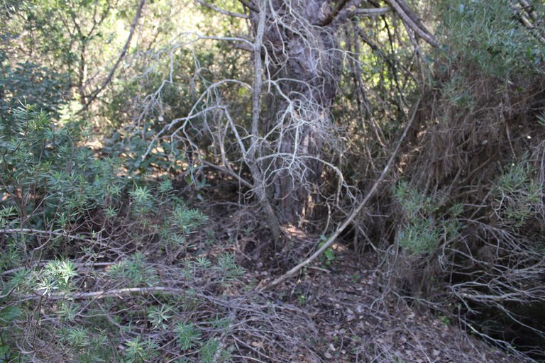
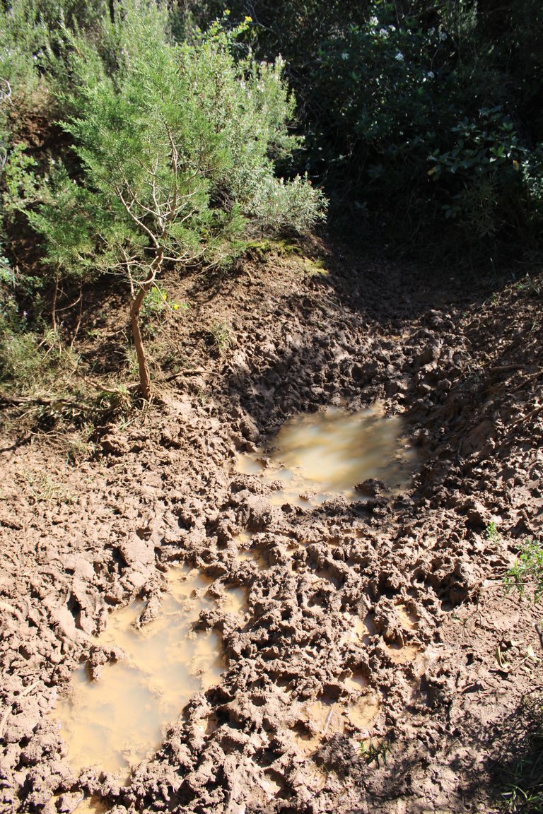
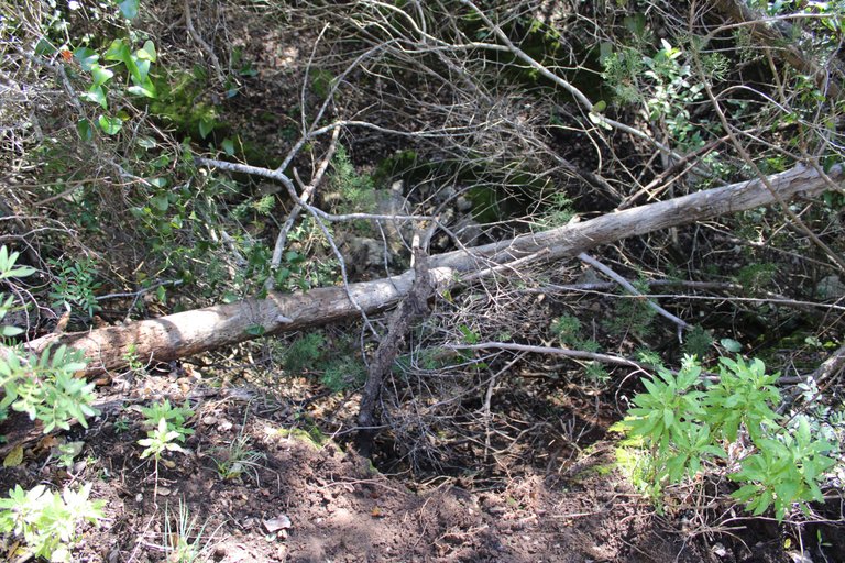
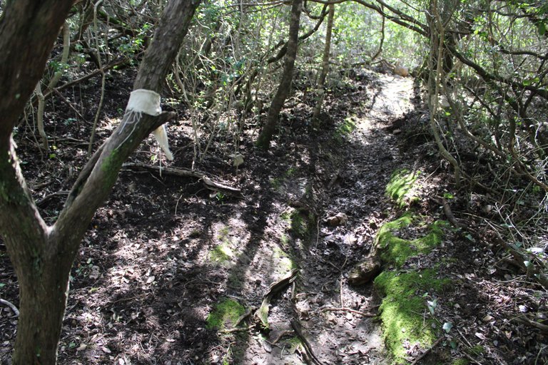
I think this is the wildest side of the expedition, here we enter a small path in the middle of the forest! We are at 120 meters high and we will go down to then take a path to the next viewpoint and our final destination, here are the coordinates: (38.456997, -9.013012), I almost fell, the ground was slippery, lots of insects, terrain full of mud, I warn you that it is an experience not suitable for beginners because you will even have to do a small dangerous climb.🌍🚩
Creo que este es el lado mas salvaje de la expedicion, aqui entramos entre un pequeno camino en medio del bosque! estamos a 120metros de altura y iremos a bajar para luego tomar un camino hacia el proximo mirador y nuestro destino final, aqui las coordenadas: (38.456997, -9.013012), casi me caia, el suelo estaba resbalozo, muchos insectos, terreno lleno de barro, te advierto que es una experiencia no apto para principiantes porque hasta tendras que hacer una pequena escalada peligrosa✍🏻🌷
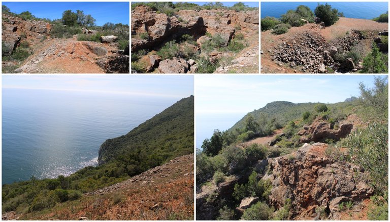
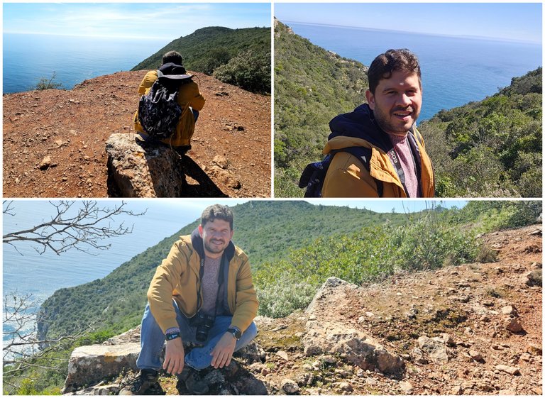
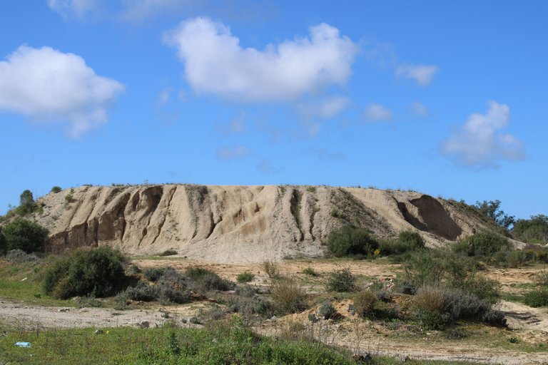
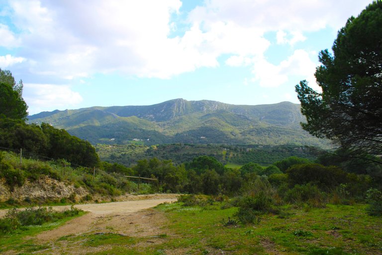
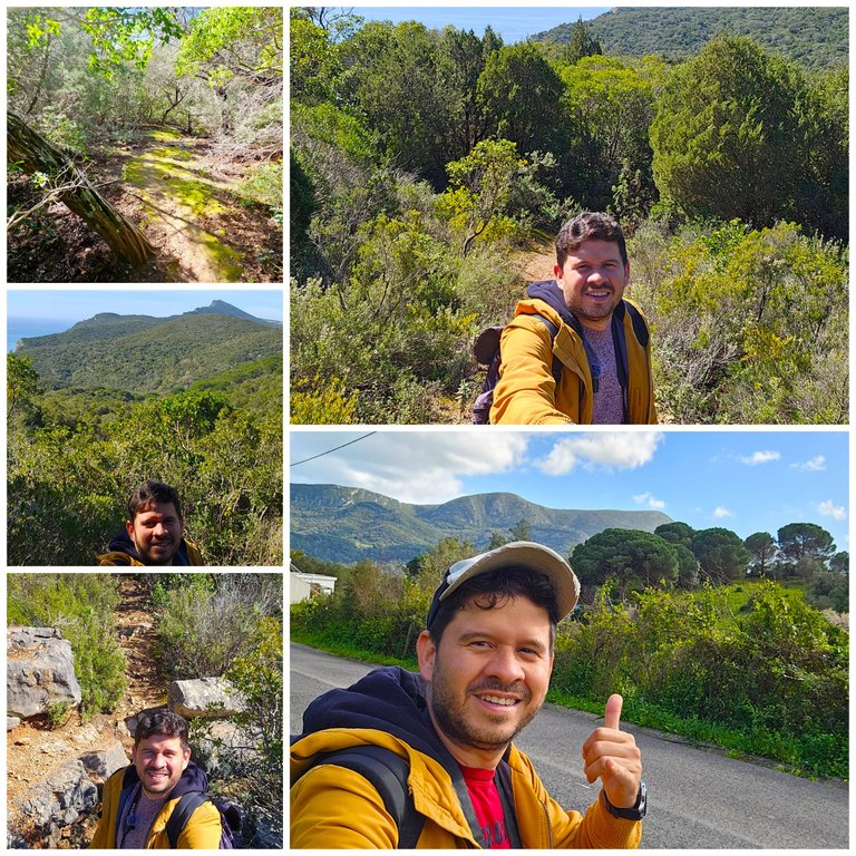
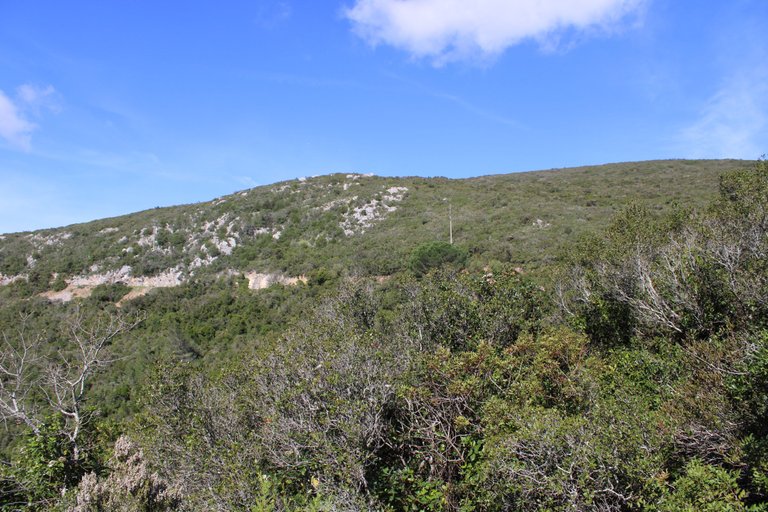
And that's it! We reached the top of the mountain. We are at more than 320 meters, the view is quite nice and we are on the south side of the mountain next to the Atlantic Ocean. What did you think of the experience? Would you dare to do it? This area is different because it is quite rocky and arid, which makes for a beautiful landscape.🌍🚩
Y listo! llegamos al tope de la montana estamos a mas de 320metros, la vista es bastante bonita y estamos al lado sur de la montana junto al oceano atlantico, que te parecio la experiencia? si te animabas hacerla? esta zona es diferente porque es bastante rocosa y arida lo que es un paisaje bonito.🧭🚙

DNA is an organization to foster and DENSIFY NATURE-APPRECIATION which aims to establish REPORTS OF BIODIVERSITY DATA that is contributed by all of us Hiveans and subsequently cataloged.
Therefore DNA searches for HIGH-QUALITY posts that aim to DESCRIBE and determine the BIODIVERSITY AROUND YOU with added EXPLANATIONS and INFORMATION. For these informative posts they offer a CURATION SERVICE using the @dna.org account. It is also a CURATION TRAIL. Just add the #dna TAG if you think that any of your posts is what they are looking for.
THANKS FOR READING ME (PHOTOS AND VIDEOS OF MY PROPERTY) / GRACIAS POR LEERME FOTOS Y VIDEOS DE MI PROPIEDAD🙂🧠🦾👍